English
  עברית
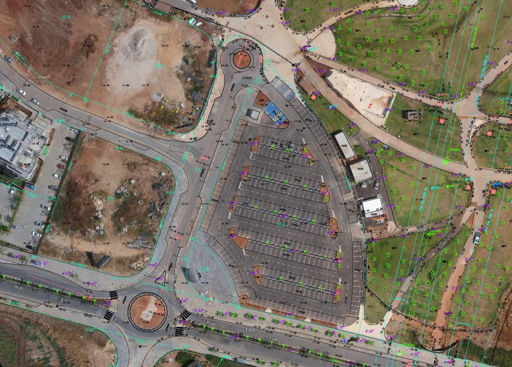
עברית GeoDrones supplies aerial mapping services in high-resolution (up to 2cm/px).
Our drone camera is certified by the Survey of Israel for Orthophoto & mapping (up to 1:250).
The service we provide is beneficial to surveyors, architects, construction companies & municipalities.
We can export the orthophotos or DSM in a variety of formats to GIS & CAD suites.
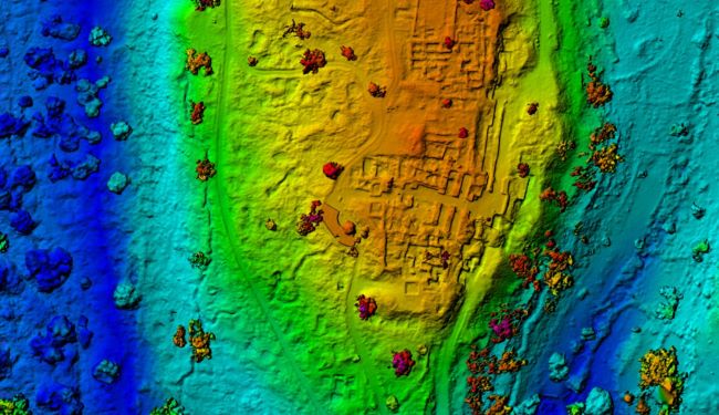
- We’re now also doing 3D mapping (reality modeling) of places, buildings & objects for our customers.